Flood maps are being updated across Vermont. Portions of the draft maps in the Deerfield and Green River Watersheds have now been released for review by municipal officials.
Municipal officials are encouraged to review the maps, and flag any areas needing clarification, or correction.
Video 45 minutes: How to Review Preliminary Maps: https://youtu.be/lbKq9ztmk9Q
(Advance to minute 2:40)
Communities should identify someone, such as a Planning Commissioner, to become familiar with the maps as they provide critical information about flood risks in the community. High risk flood hazard areas are regulated by most communities in Vermont to reduce damage from flooding, and to provide access to flood insurance through the National Flood Insurance Program (NFIP).
This training is sponsored by Bennington Regional Commission www.bcrcvt.org, Windham Regional Commission www.bcrcvt.org, and VT DEC bit.ly/VT-Rivers
For more information please contact:
- Alysaa Sabetto asabetto@ windhamregional.org;
- Janet Hurley Jhurley@ bcrcvt.org
- Ned Swanberg ned.swanberg@ vermont.gov
Ned Swanberg, the Vermont Flood Hazard Mapping Coordinator with VT DEC will review the map update process, how to access and review the data, and how corrections can be made where appropriate. The event will be recorded.
The draft Digital Flood Insurance Rate Maps (DFIRMs) are now in the Preliminary phase. After any necessary corrections are processed this data will become effective probably in the winter of 2027.
More information on the map update process can be found below:
bit.ly/fema-map-update - describing the map updates and projected dates by county
bit.ly/floodatlas - shows the current flood hazard and river corridor maps
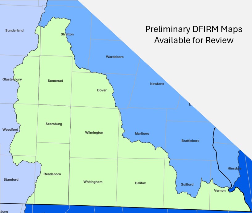
The map below shows the extent of Preliminary FIRM data in green. As the data is completed for the other watersheds those areas will be posted for review.