FEMA is updating Flood Insurance Rate Maps across Vermont.
The work is being done by watershed. The maps will later be released as digital county-wide FIRMs.
A description of the process and the rough status of the counties is posted on the www.floodtraining.vt.gov website.
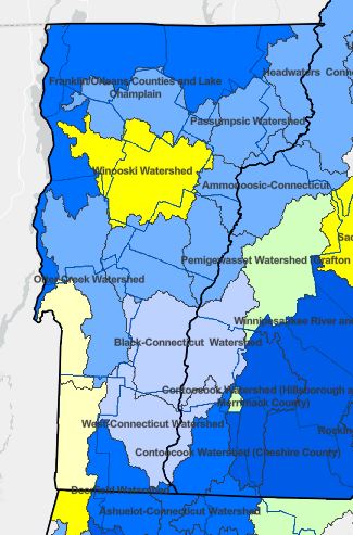
This map shows the status of studies in Vermont (8/19/2022).
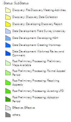
The yellow are in the pre-Discovery or Discovery phase.
Blue watersheds are in active study.